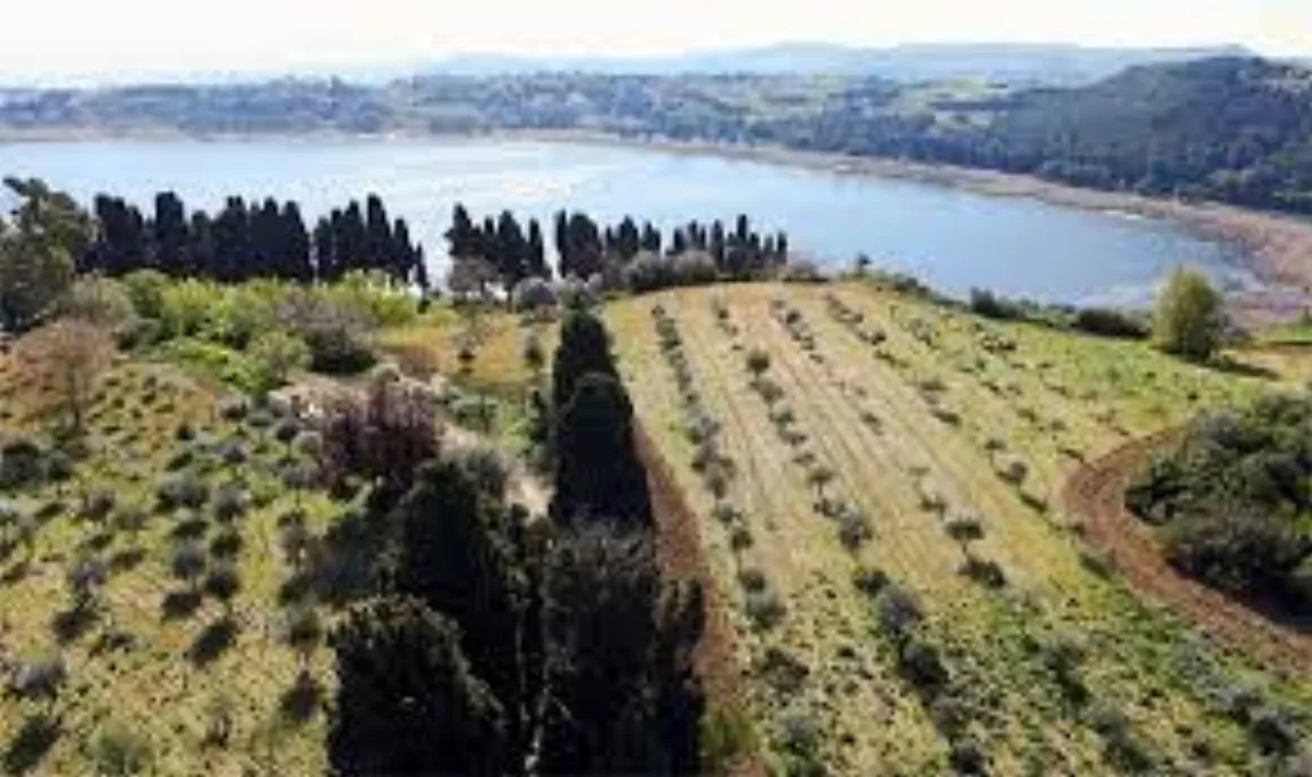
Enna (Pergusa) · Botanical garden
Campo del Germoplasma Ulivicolo di Zagaria
The world's largest collection of olive varieties, with hundreds of plants from across the globe, in the Lake Pergusa Nature Reserve.
Nature reserves, canyons, archaeological sites and monuments in the heart of Sicily: most with free entry, within the Rocca di Cerere UNESCO Global Geopark. A heritage spread across the towns of the Enna area, to discover at your own pace.
45 places in 11 towns
The must-see places in the Enna region.
Enna (Pergusa) · Botanical garden
The world's largest collection of olive varieties, with hundreds of plants from across the globe, in the Lake Pergusa Nature Reserve.
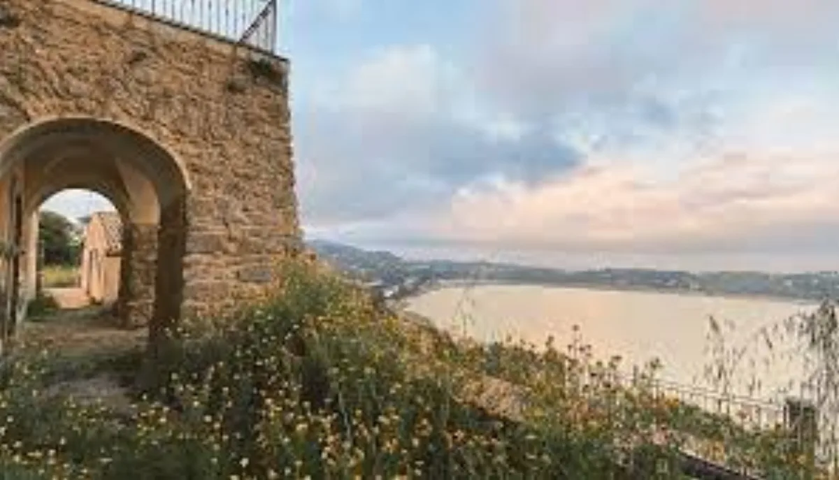
Enna (Pergusa) · Historic villa
A grand aristocratic estate with a 17th–18th-century hunting lodge, a romantic garden and oak wood, overlooking Lake Pergusa and Etna.
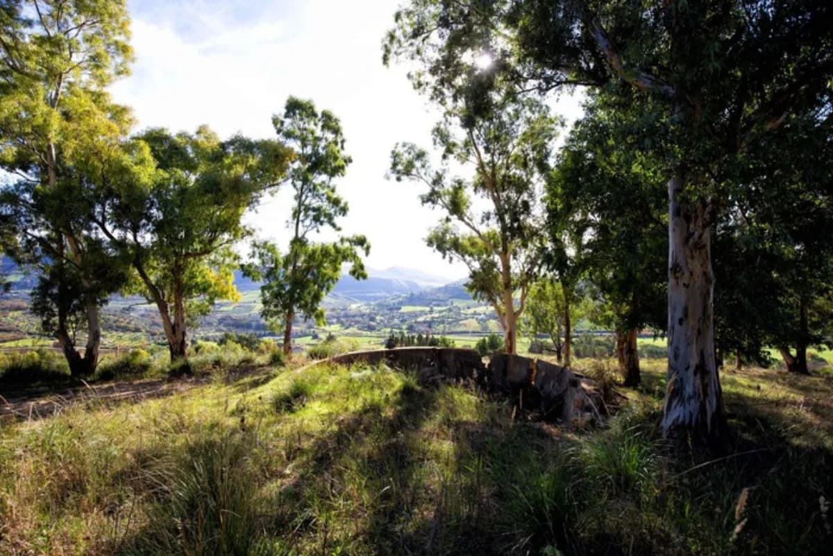
Enna · Landscape & nature
A Natura 2000 site with gypsum and Messinian evaporite rock banks, arid landscapes, karst phenomena and remains of sulphur mines and gypsum quarries.
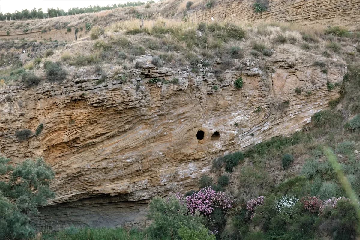
Enna · Natural canyon
A deep canyon carved in Pliocene calcarenite along the San Giovannello valley, with rapids, gorges, disused mills and the spectacular San Tommaso shelter.
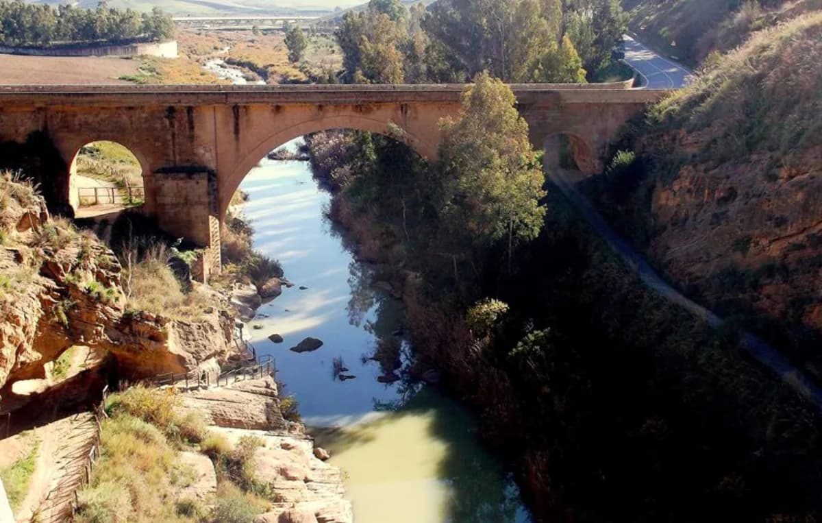
Enna · Archaeology & nature
A mountain with a long calcarenite cuesta along the southern Imera valley, with spectacular gorges, the Grotta delle Meraviglie and a Hellenised indigenous settlement.
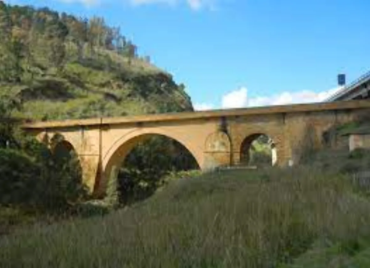
Enna · Monument
A calcarenite bridge over the southern Imera river, commissioned under Charles V, for centuries considered one of the 'three wonders' of Sicily.
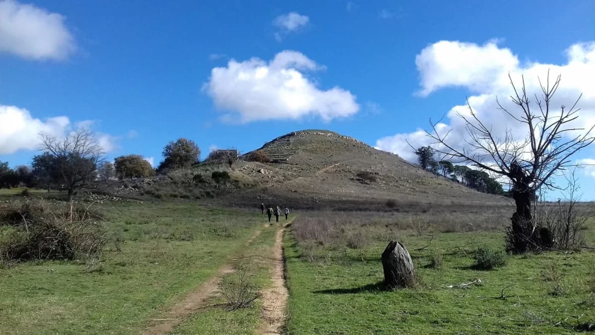
Enna · Archaeology & nature
An ancient settlement from the Bronze Age to its destruction in 1394, with city walls, the acropolis of Serra Casazze, a Byzantine church, castle ruins and fossil-bearing sands.
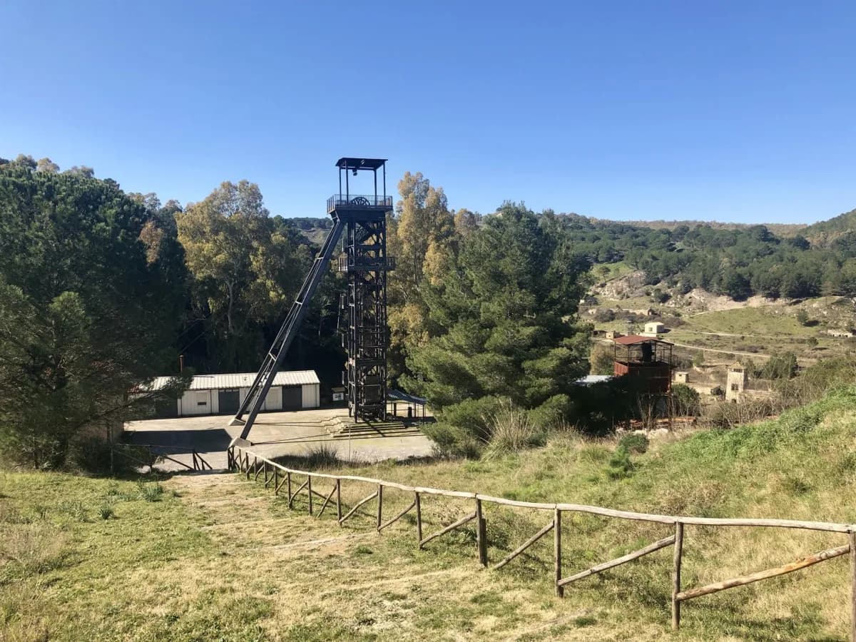
Enna · Mining park
A Regional Mining Park and open-air museum of Sicilian sulphur-mining heritage, with the magnificent Palazzo Pennisi and the pearly-white waters of the Rio Floristella.
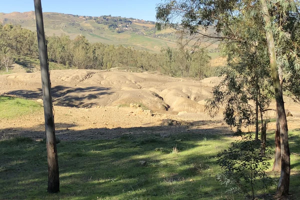
Enna · Natural phenomenon
A 'cold volcanism' phenomenon caused by the rise of water and gas from deep strata; the name comes from Arabic and means 'overturning'.
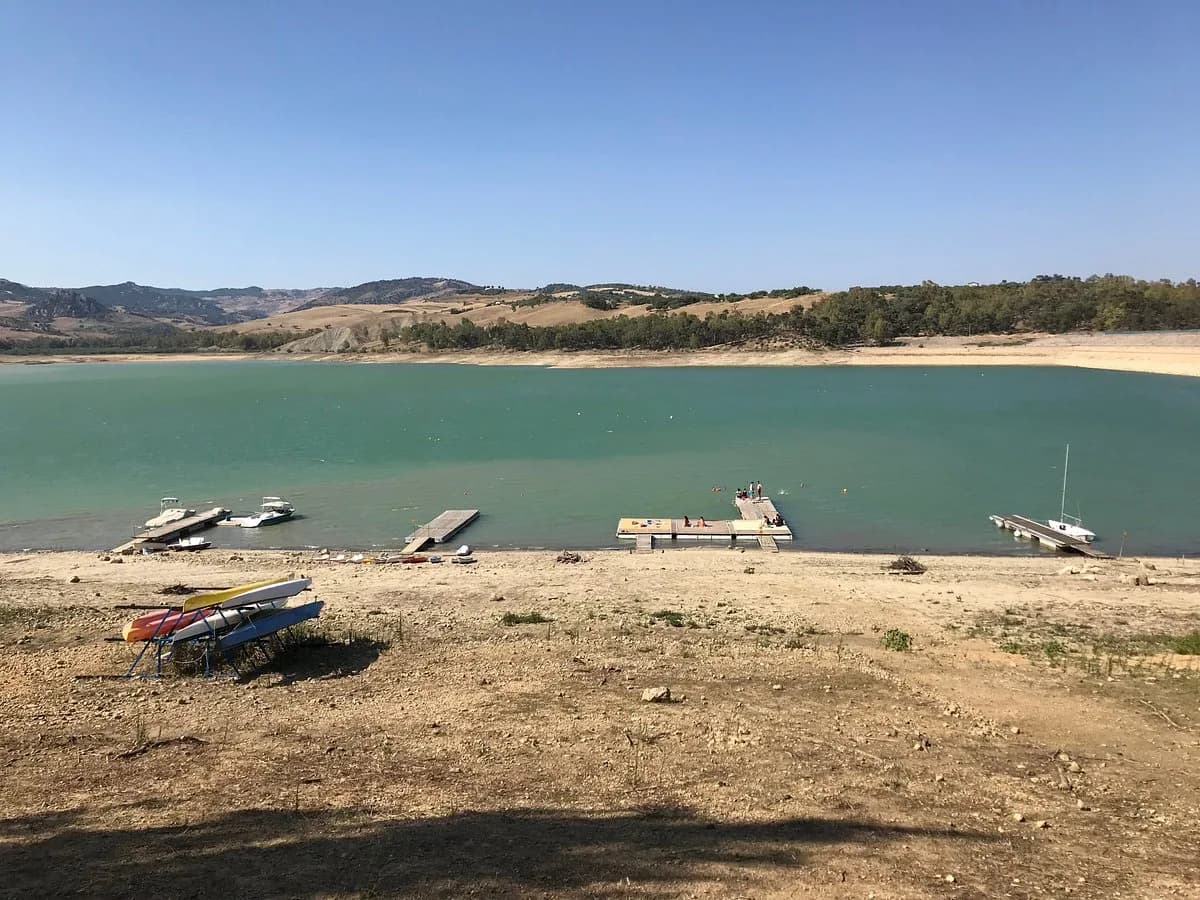
Enna · Lake
An artificial irrigation reservoir on the Bozzetta stream with a well-equipped nautical club for sailing, kayak, canoe, water skiing, wakeboard and free climbing.
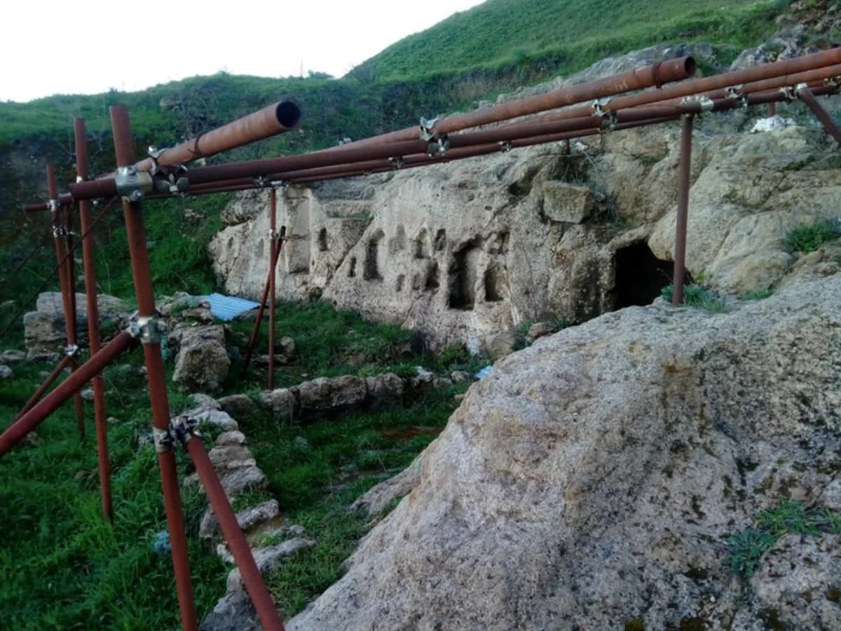
Enna · Archaeological trek
A short but demanding trek from lower Enna to the top of the Rocca di Cerere, touching some of the city's most interesting archaeological sites.
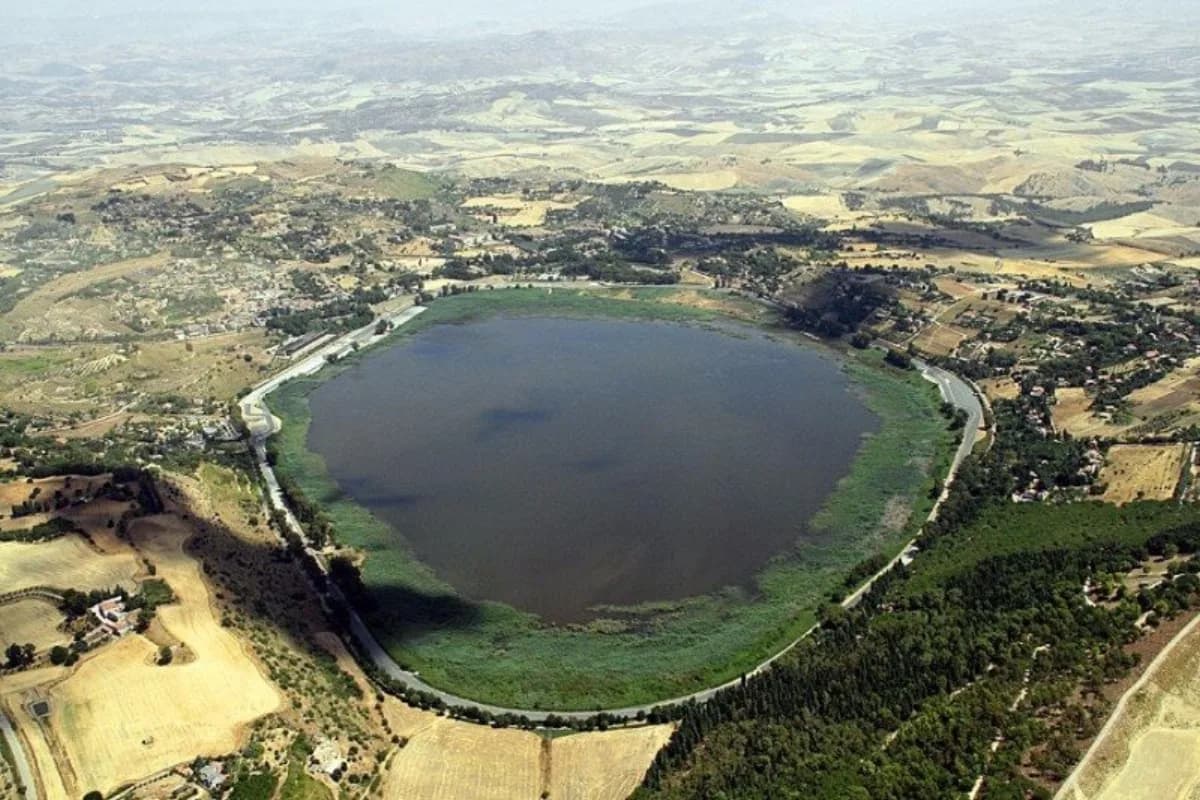
Enna · Archaeological site
An archaeological area above the Pergusa basin, with remains of a large Hellenised indigenous centre from the Copper Age to the Classical era and a vast sacred temenos.
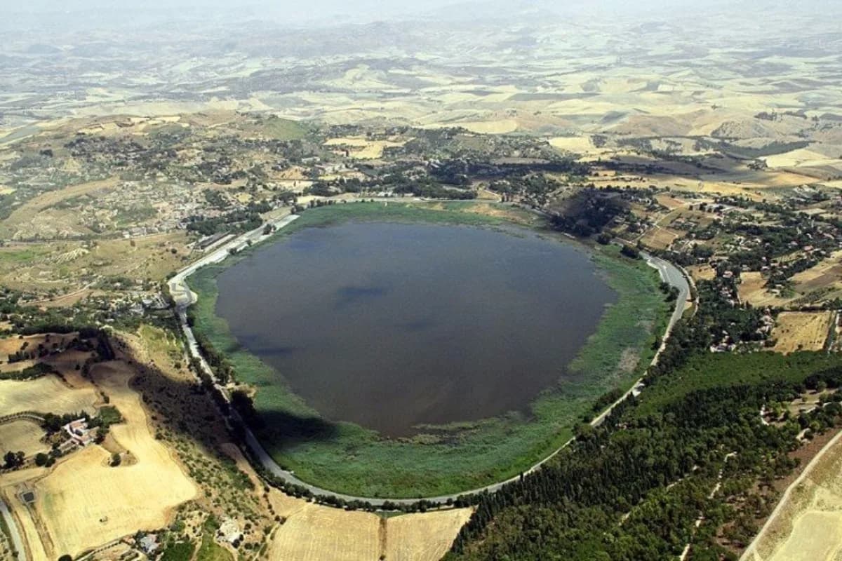
Enna · Nature reserve
One of Italy's best-known nature reserves and a Biotope of Italy, an endorheic lake and important station for wild birdlife, with a Visitor Center at the entrance.
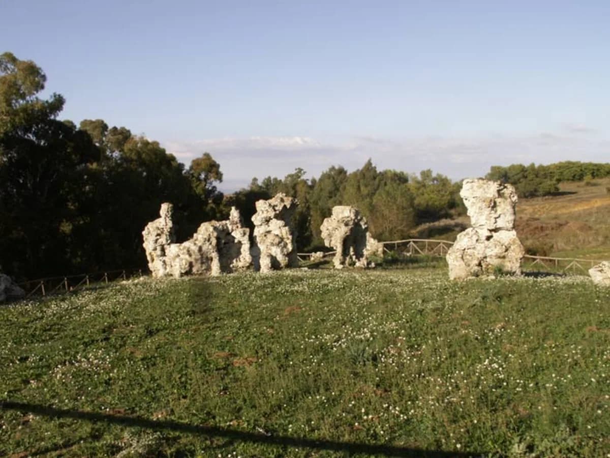
Enna · Geosite
A geosite in the Rossomanno nature reserve with a ring of sandstone monoliths in imaginative shapes, linked to folk legends and a key example of Pliocene quartz-arenites.
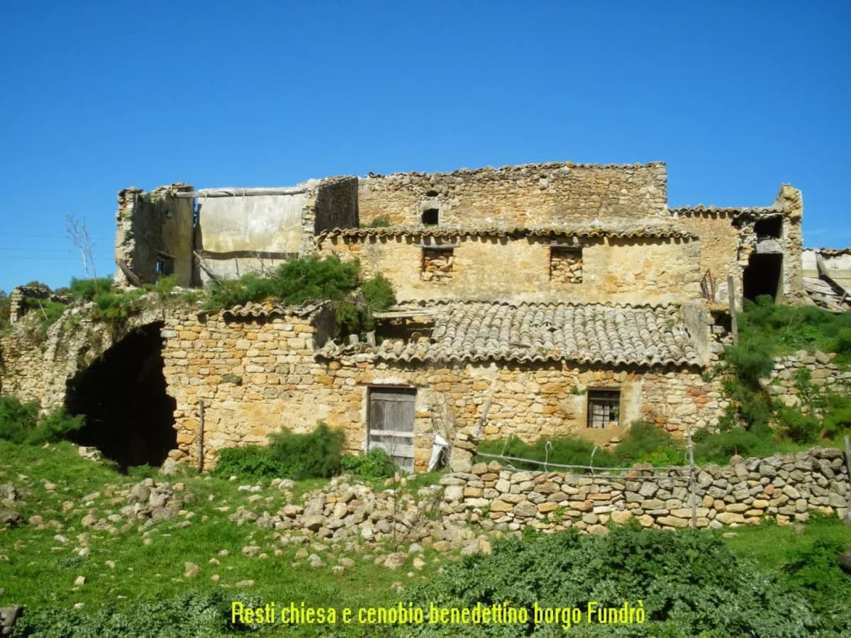
Enna · Archaeological site
The never-excavated remains of an ancient settlement destroyed in the late 14th century, with its old abbey (later moved to Piazza) and mills in the stream valleys.
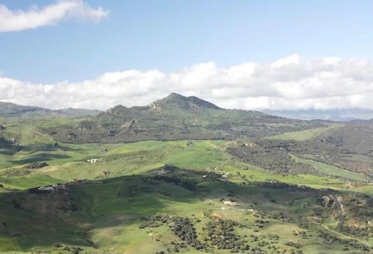
Leonforte · Nature & archaeology
Monte Altesina is the highest peak of the Erei Mountains.
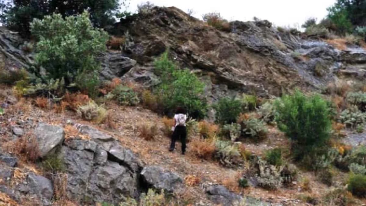
Leonforte · Geosite
A geosite of global importance established by the Regional Government of Sicily under the relevant law.
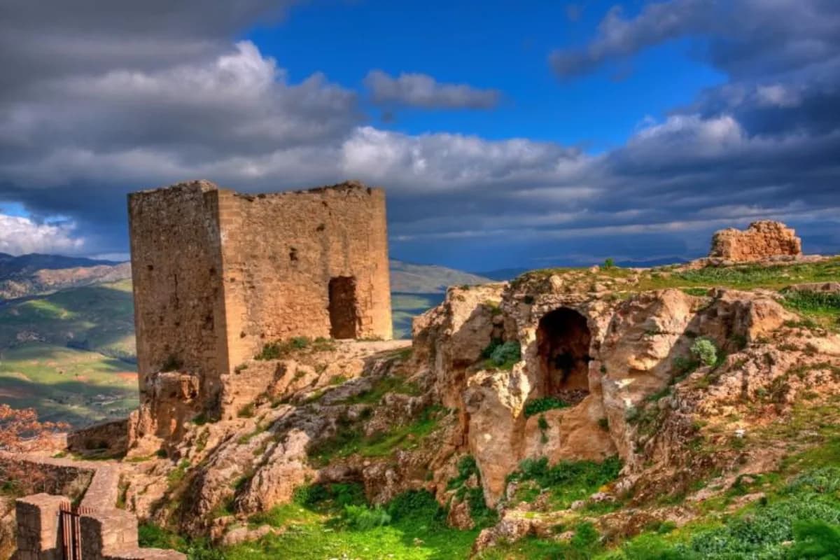
Leonforte · Castles
Set along what was once the ancient Catania-Termini consular road, the two castles rise on two quartz-arenite pinnacles of the Numidian Flysch, already striking in their very shape.
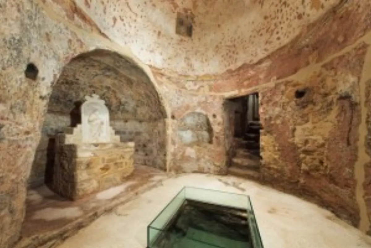
Leonforte · Rock-cut site
In the district of the same name, now part of the outskirts of Leonforte, the cave known in Greek as Santa Léna is what remains of a complex originally hewn into the calcarenite and used as a grain silo or cubiculum, later transformed into a small rock-cut church decorated with a complex cycle of frescoes still faintly visible on its walls today.
Assoro · Landscape & nature
East of Assoro, along the provincial road that leads from the town to the hamlet of San Giorgio, the Piano di Murra is a landscape feature of great value.
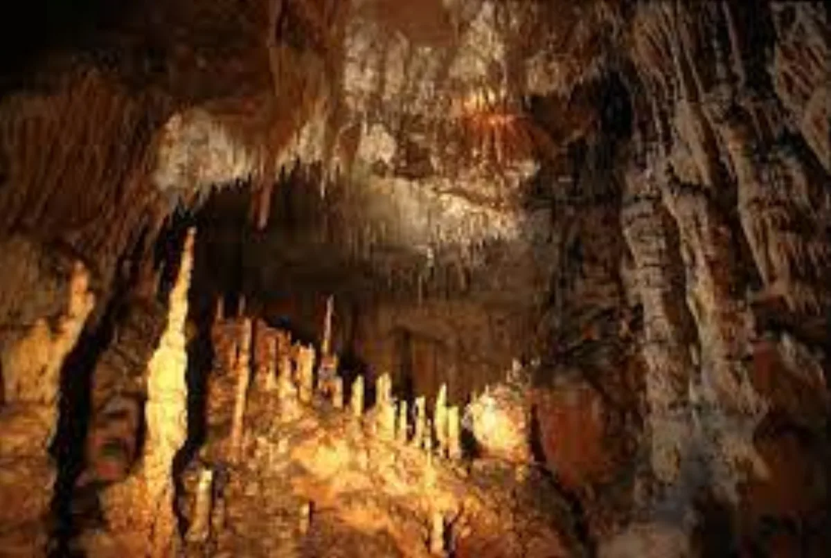
Assoro · Geosite
An interesting and scenic geosite featuring a series of clearly folded trubi (Mediterranean deep-sea marls).
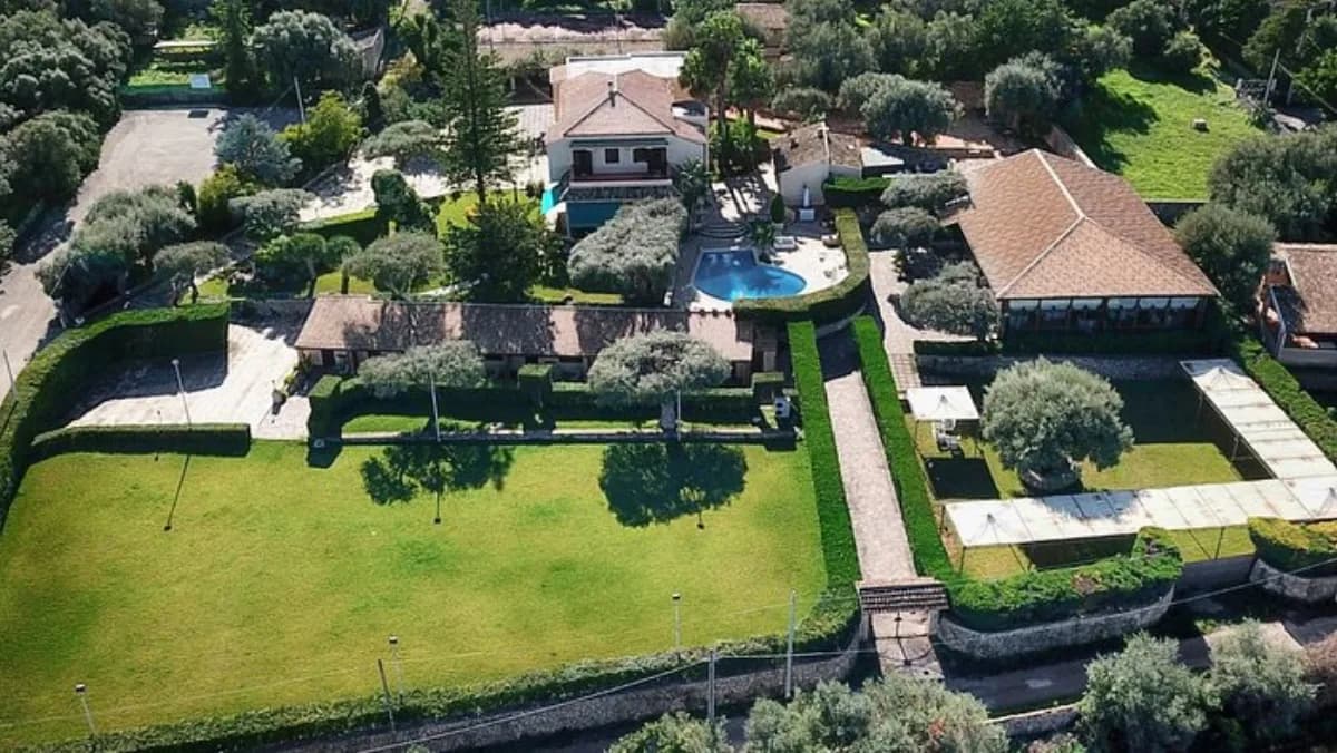
Assoro · Archaeological site
An archaeologically significant site characterised by a pierced rocky pinnacle, precisely 'la Perciata' (the pierced one).
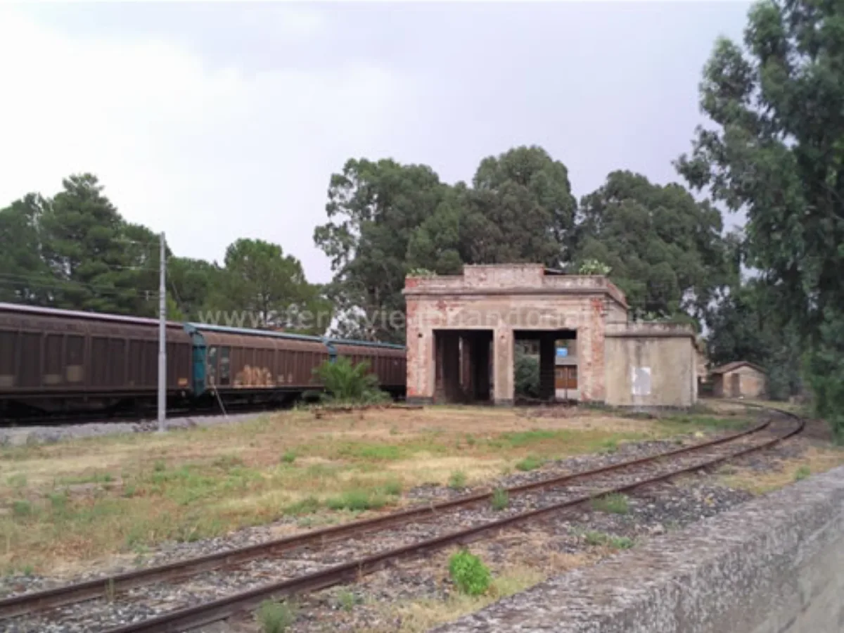
Assoro · Industrial heritage
A long, disused railway stretch, part of the narrow-gauge Nicosia-Caltagirone line.
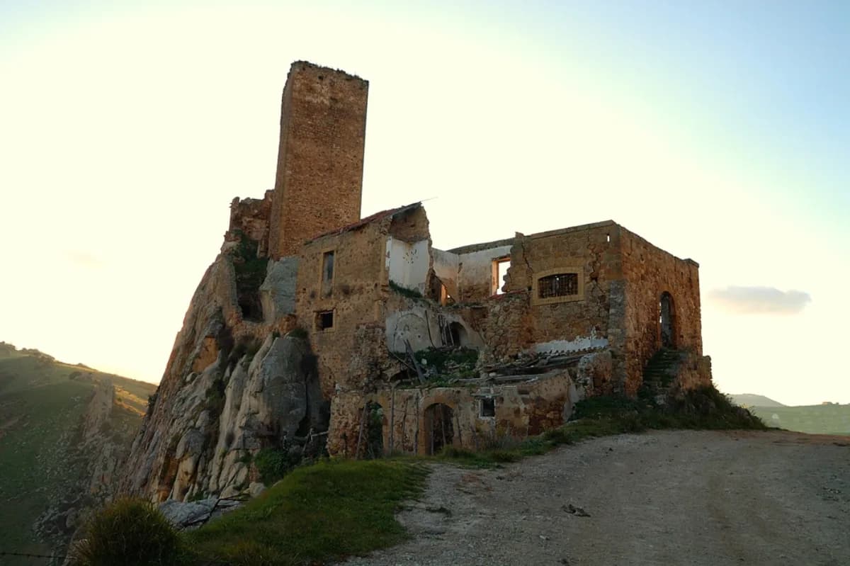
Aidone · Castle
Amid the cereal-growing countryside of what was the Morgantina territory, a long rocky ridge rises to cut across the course of a stream almost like a dam.
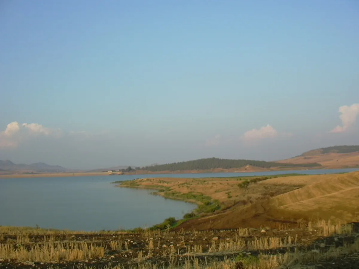
Aidone · Nature reserve
An artificial lake created by the Don Sturzo dam along the Gornalunga River, the reservoir has become an important nature oasis, a wintering and nesting site for several species of wild birdlife.
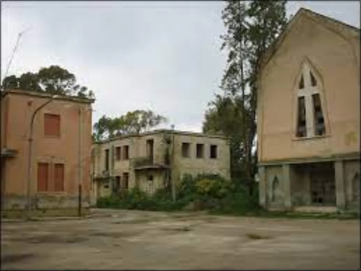
Aidone · Rural village
A rural ERAS hamlet, now abandoned and ghostly in appearance.
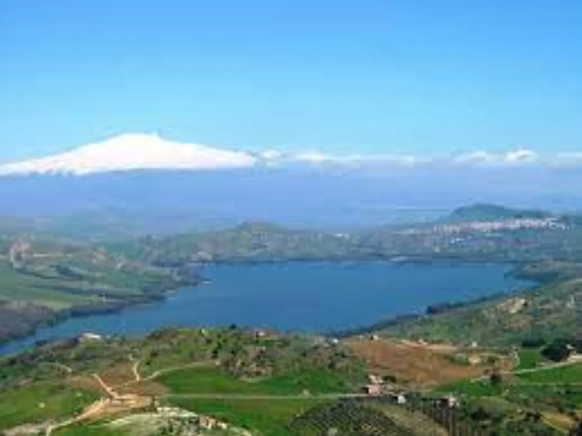
Regalbuto · Lake
An artificial lake created by damming the Salso Cimarosa River, it is one of the largest water reservoirs in Sicily.
Nissoria · Woodland
A vast wooded area with the remnants of a cork-oak forest once renowned for its production; today the zone also features eucalyptus reforestation.
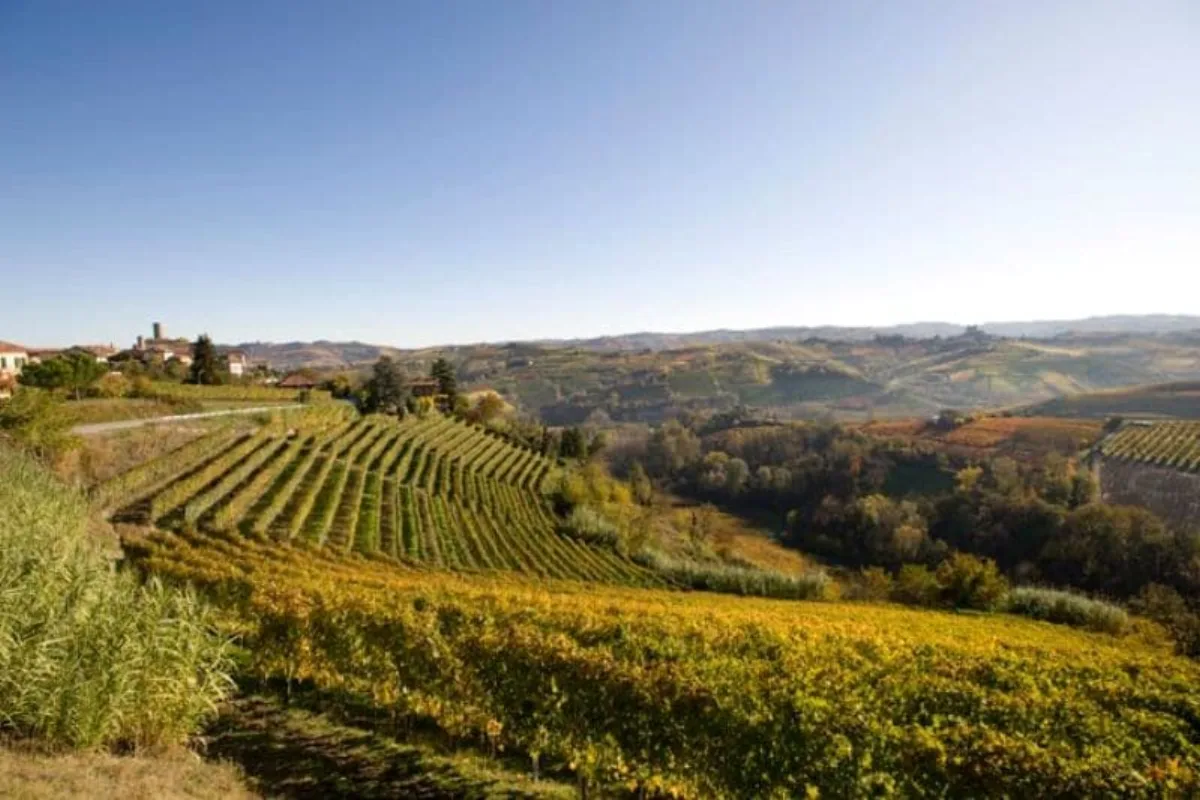
Nissoria · Archaeological site
Flysch-type quartz-arenite pinnacles bearing the remains of rock-cut settlements that are still uninvestigated.
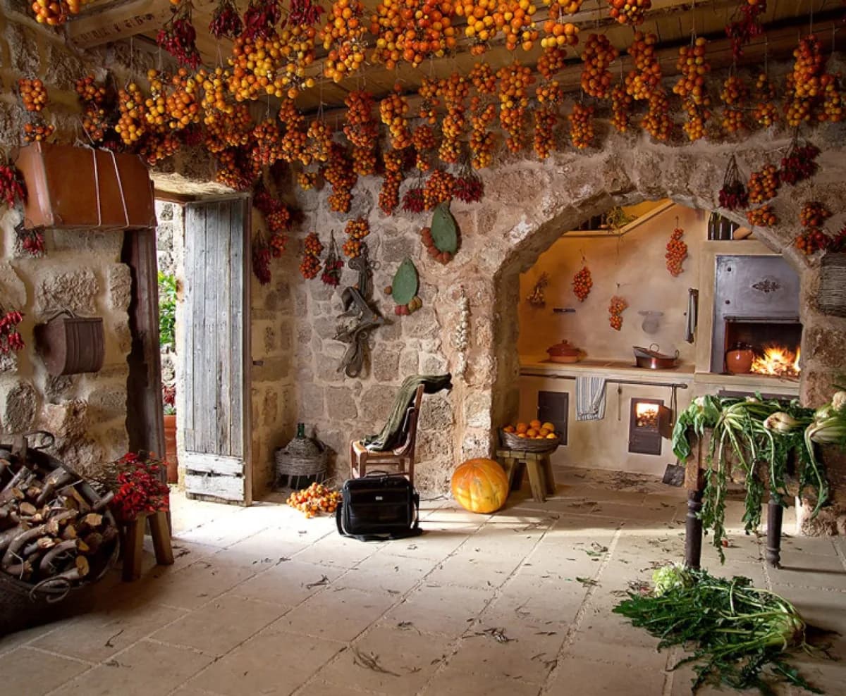
Villarosa · Historic palace
In the countryside of Villarosa, along an old royal drovers' road (Trazzera), stands a seventeenth-century aristocratic palace whose forms seem entirely at odds with its rural setting.
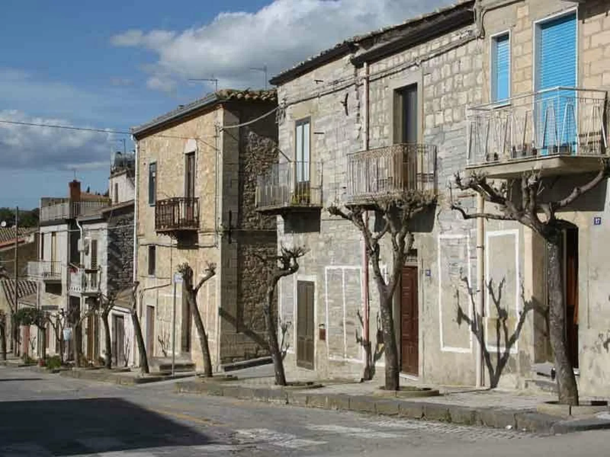
Villarosa · Rural village
A rural hamlet, a district of Villarosa, where the tireless work of the Amici del Treno Museo association has created a kind of open-air museum, recreating the everyday living spaces of the rural world of the Sicilian interior.
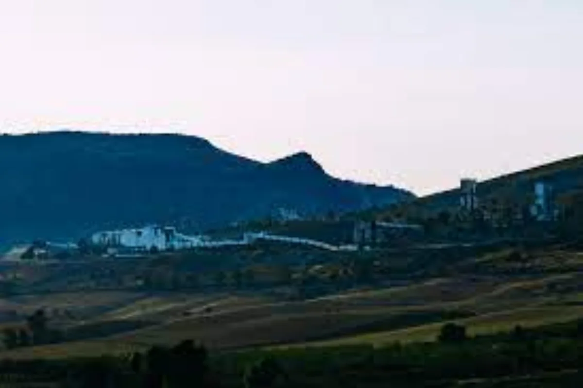
Enna · Nature reserve
Small artificial lakes set in the Morello valley at the confluence of the Morello, San Giovannello and Imera rivers.
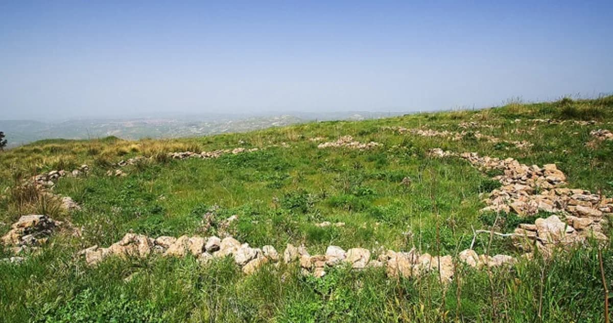
Piazza Armerina · Archaeological site
An archaeological area in the countryside of Piazza Armerina which, despite the lack of thorough archaeological investigation, features various surface remains and a magnificent panoramic position over the Braemi and Nociara valleys.
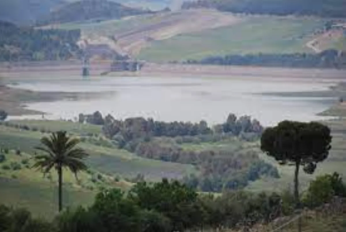
Calascibetta e Villarosa · Nature & archaeology
Monte Gaspa is a plateau formed of a bank of calcarenite.
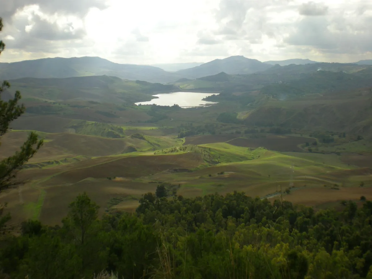
Calascibetta e Villarosa · Landscape & nature
The Morello is a tributary of the southern Imera; it rises on Monte Altesina and, tracing a wide curve, reaches the area west of Villarosa with its course intact from a naturalistic standpoint.
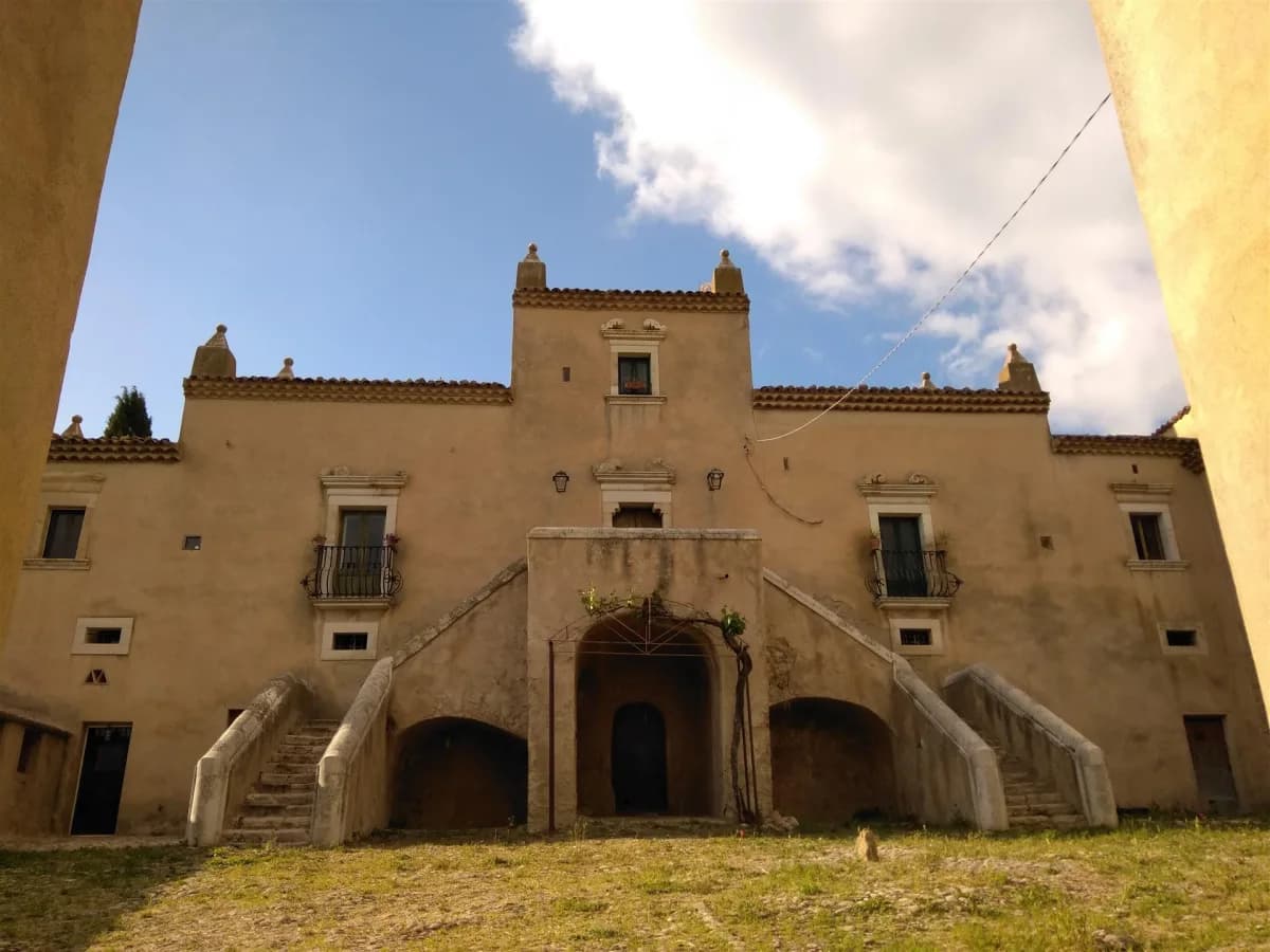
Calascibetta · Archaeological site
The ancient road described by Cicero allowed grain supplies to be transported from Henna to Halaesa on the Tyrrhenian coast.
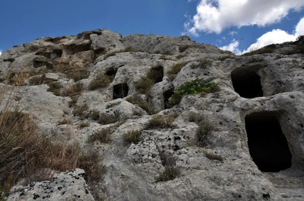
Calascibetta · Necropolis
In the territory of Calascibetta, several pre- and protohistoric necropolises come into view: hundreds of tombs carved into the limestone rock, in some cases isolated, in others gathered into groups that can be very large.
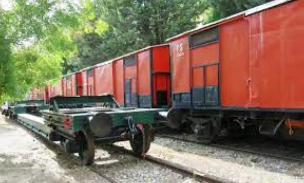
Villarosa · Museum
Created within the railway station of Villarosa Scalo thanks to the vision and tireless work of the stationmaster David Primo, the Museum is housed inside now-disused carriages.
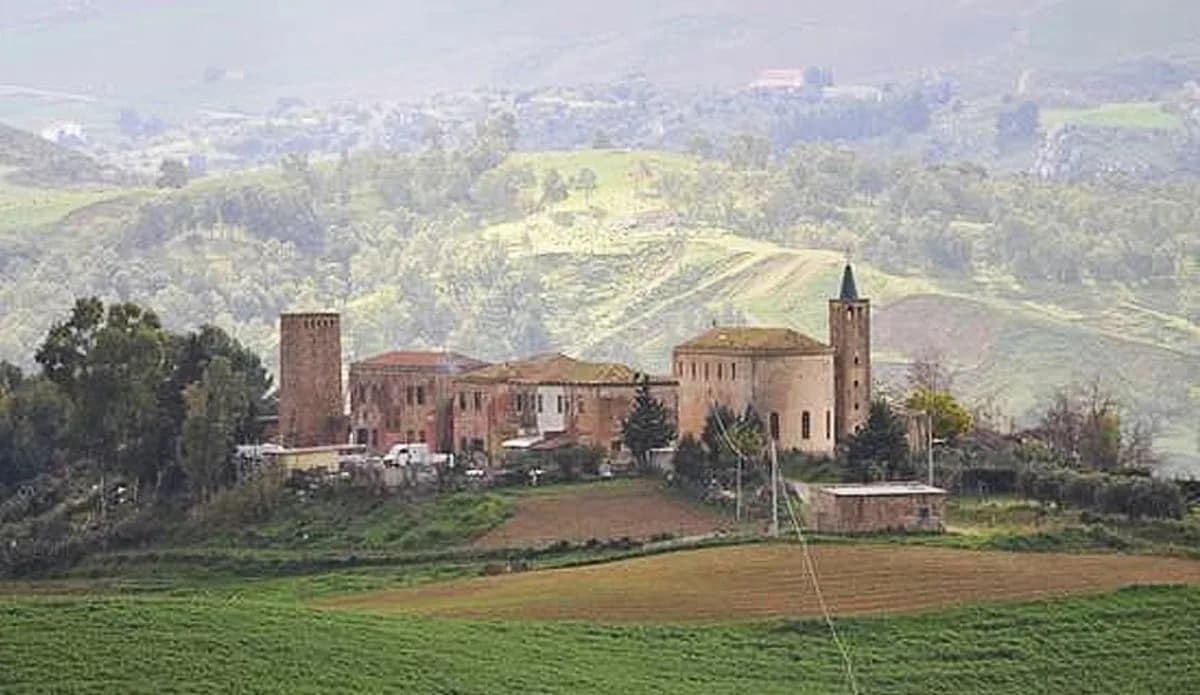
Enna · Rural village
A rural hamlet created during the twenty years of Fascism, it is very well preserved.
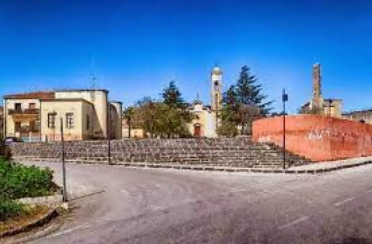
Enna · Village
A workers' village, Pergusa was created during the twenty years of Fascism following the reclamation of the marshy areas surrounding the lake of the same name.
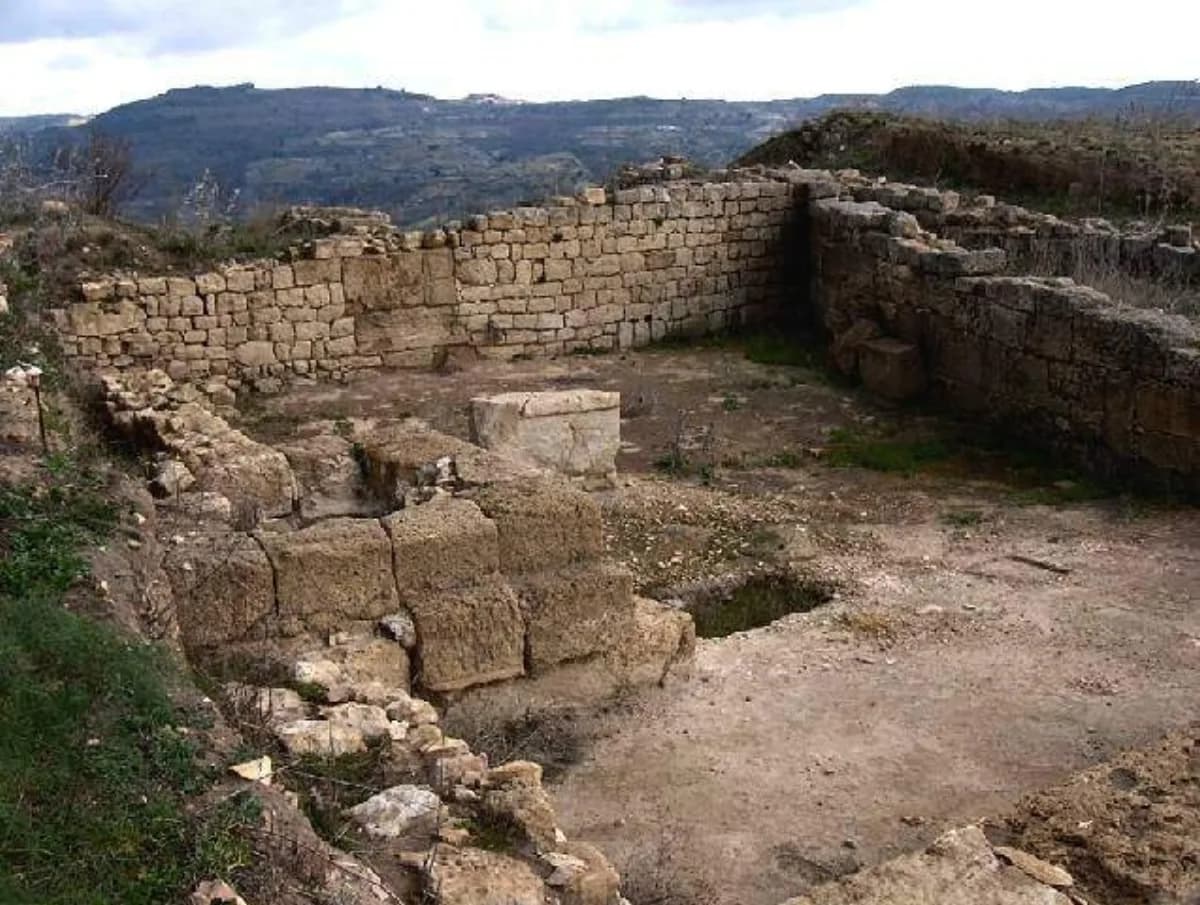
Piazza Armerina · Archaeological site
An archaeological area that is part of the Archaeological Park of Morgantina and the Villa del Casale, it preserves the remains of a large Hellenised Sicel settlement whose life probably continued into late antiquity.
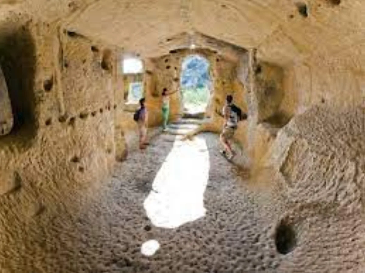
Calascibetta · Rock-cut settlement
A rock-cut archaeological area with several dwelling clusters entirely carved into the rock and inhabited from the Bronze Age until the last century.
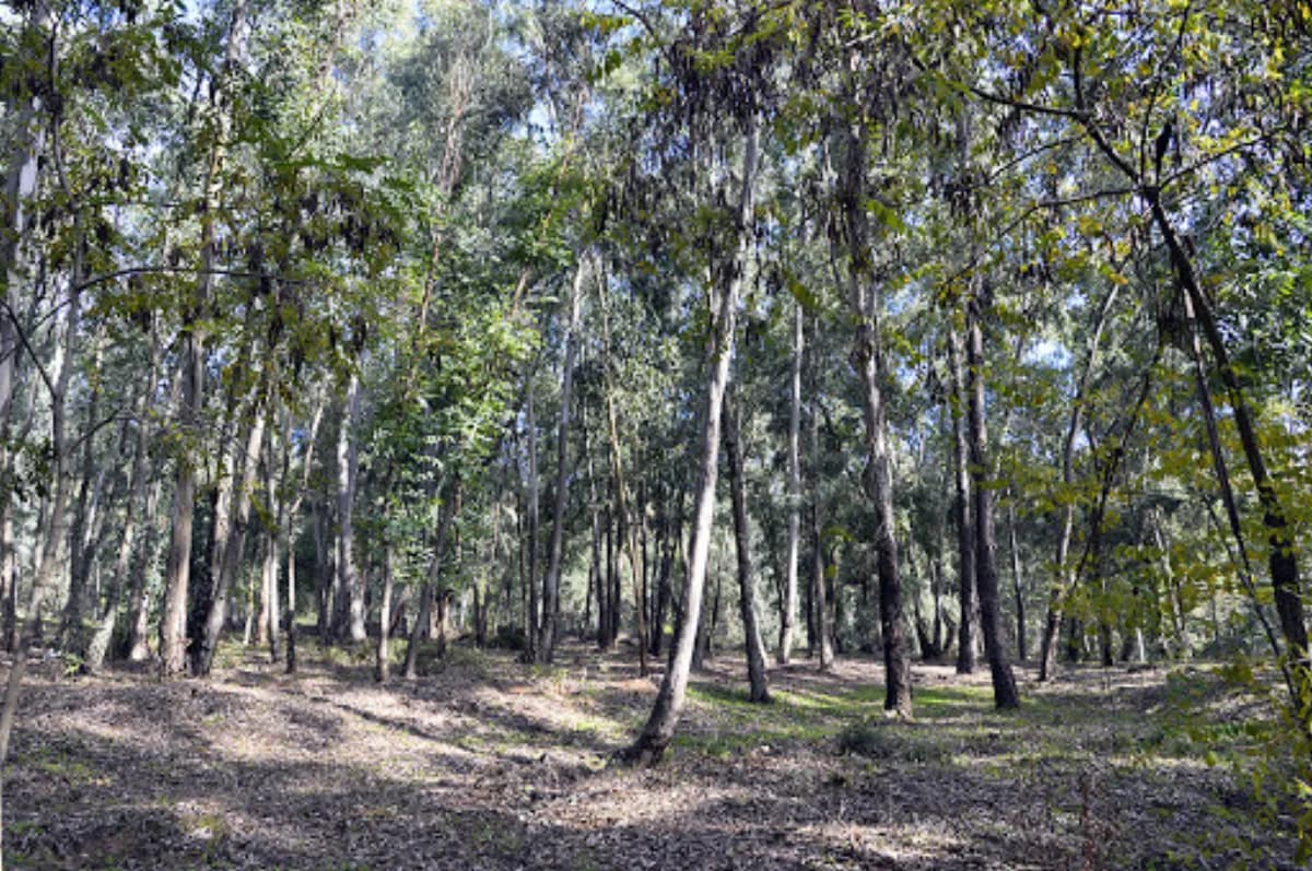
Piazza Armerina · Woodland
A vast area characterised by highly natural rural conditions.
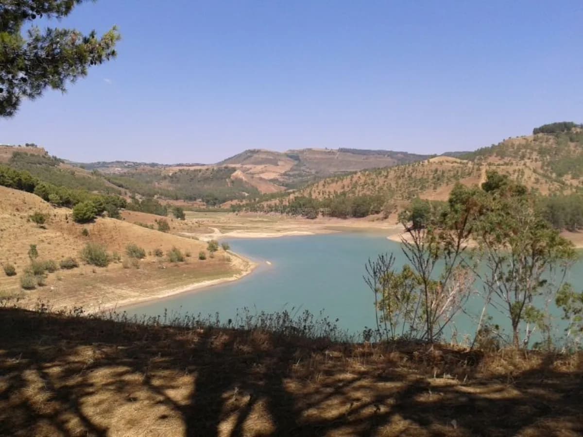
Piazza Armerina · Lake
An artificial lake created by damming the stream of the same name, a tributary of the Braemi, it has a forked shape with very deep inlets.
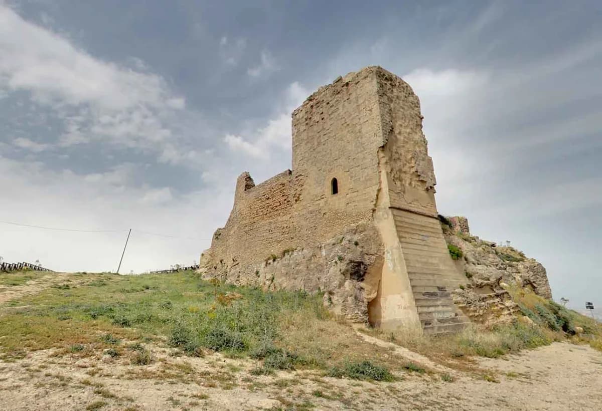
Agira · Castle
On the summit of Monte Teja, which dominates the Salso and Dittaino valleys, where a Sican settlement once stood, a Greek acropolis arose in the 4th century BC, later occupied by the Romans and transformed into an Arab stronghold around the year 1000.
Want to visit them with a local guide?
Plan your visit